Uncultivated field near Boscombe Down
Introduction
The photograph on this page of Uncultivated field near Boscombe Down by David Martin as part of the Geograph project.
The Geograph project started in 2005 with the aim of publishing, organising and preserving representative images for every square kilometre of Great Britain, Ireland and the Isle of Man.

There are currently over 7.5m images from over 14,400 individuals and you can help contribute to the project by visiting https://www.geograph.org.uk
Uncultivated field near Boscombe Down
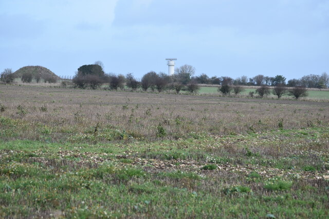
Image: © David Martin Taken: 14 Dec 2020
The distant tower is a radar scanner on the MOD airfield.
Images are licensed for reuse under creativecommons.org/licenses/by-sa/2.0
Image Location
Latitude
51.143543
Longitude
-1.761939