The Town Hall, Egremont
Introduction
The photograph on this page of The Town Hall, Egremont by Humphrey Bolton as part of the Geograph project.
The Geograph project started in 2005 with the aim of publishing, organising and preserving representative images for every square kilometre of Great Britain, Ireland and the Isle of Man.

There are currently over 7.5m images from over 14,400 individuals and you can help contribute to the project by visiting https://www.geograph.org.uk
The Town Hall, Egremont
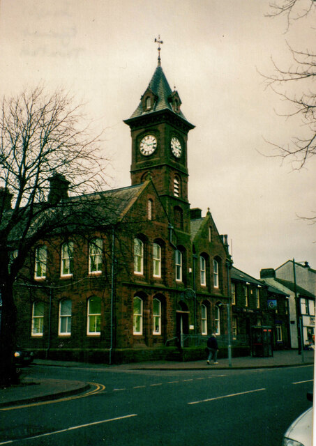
Image: © Humphrey Bolton Taken: Unknown
Built in 1890, listed Grade II. Egremont was a local board district at that time, and became an Urban District Council when local government was reorganised in 1893.
Images are licensed for reuse under creativecommons.org/licenses/by-sa/2.0
Image Location
Latitude
54.483495
Longitude
-3.528667