River Dour
Introduction
The photograph on this page of River Dour by John Baker as part of the Geograph project.
The Geograph project started in 2005 with the aim of publishing, organising and preserving representative images for every square kilometre of Great Britain, Ireland and the Isle of Man.

There are currently over 7.5m images from over 14,400 individuals and you can help contribute to the project by visiting https://www.geograph.org.uk
River Dour
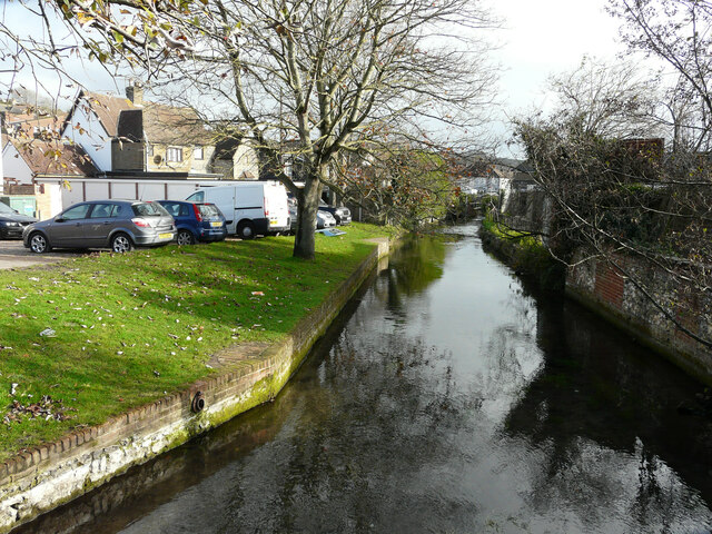
Image: © John Baker Taken: 21 Nov 2020
Planning permission has been granted by Dover District Council under application number DOV/20/00982 for the “construction of access steps, retaining wall and associated excavation works”. The steps are to be built, on the river bank, adjacent to Image
Images are licensed for reuse under creativecommons.org/licenses/by-sa/2.0
Image Location
Latitude
51.137174
Longitude
1.295819