Bournemouth Gardens: approaching Queen?s Road
Introduction
The photograph on this page of Bournemouth Gardens: approaching Queen?s Road by Chris Downer as part of the Geograph project.
The Geograph project started in 2005 with the aim of publishing, organising and preserving representative images for every square kilometre of Great Britain, Ireland and the Isle of Man.

There are currently over 7.5m images from over 14,400 individuals and you can help contribute to the project by visiting https://www.geograph.org.uk
Bournemouth Gardens: approaching Queen?s Road
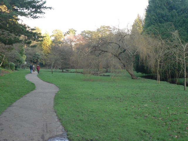
Image: © Chris Downer Taken: 27 Jan 2008
Looking downstream on the approach to Queen’s Road – just visible is the brick bridge which carries the stream under the road.
Images are licensed for reuse under creativecommons.org/licenses/by-sa/2.0
Image Location
Latitude
50.724693
Longitude
-1.892845