North end of Spital, Aberdeen
Introduction
The photograph on this page of North end of Spital, Aberdeen by Stephen Craven as part of the Geograph project.
The Geograph project started in 2005 with the aim of publishing, organising and preserving representative images for every square kilometre of Great Britain, Ireland and the Isle of Man.

There are currently over 7.5m images from over 14,400 individuals and you can help contribute to the project by visiting https://www.geograph.org.uk
North end of Spital, Aberdeen
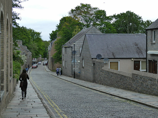
Image: © Stephen Craven Taken: 3 Jul 2019
Beyond the next side road to the right, the road straight on becomes College Bounds.
Images are licensed for reuse under creativecommons.org/licenses/by-sa/2.0
Image Location
Latitude
57.161289
Longitude
-2.101162