Agricultural Building Behind Collyers
Introduction
The photograph on this page of Agricultural Building Behind Collyers by Paul Collins as part of the Geograph project.
The Geograph project started in 2005 with the aim of publishing, organising and preserving representative images for every square kilometre of Great Britain, Ireland and the Isle of Man.

There are currently over 7.5m images from over 14,400 individuals and you can help contribute to the project by visiting https://www.geograph.org.uk
Agricultural Building Behind Collyers
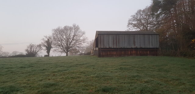
Image: © Paul Collins Taken: 8 Dec 2020
Image taken early on a lovely frosty morning. The building abuts Sandsbury Lane, extremely narrow and overgrown in parts and also obliterated in places. It formerly linked Mellstock Farm and Dunhill.
Images are licensed for reuse under creativecommons.org/licenses/by-sa/2.0
Image Location
Latitude
51.015635
Longitude
-0.953009