RHS Wisley
Introduction
The photograph on this page of RHS Wisley by Colin Smith as part of the Geograph project.
The Geograph project started in 2005 with the aim of publishing, organising and preserving representative images for every square kilometre of Great Britain, Ireland and the Isle of Man.

There are currently over 7.5m images from over 14,400 individuals and you can help contribute to the project by visiting https://www.geograph.org.uk
RHS Wisley
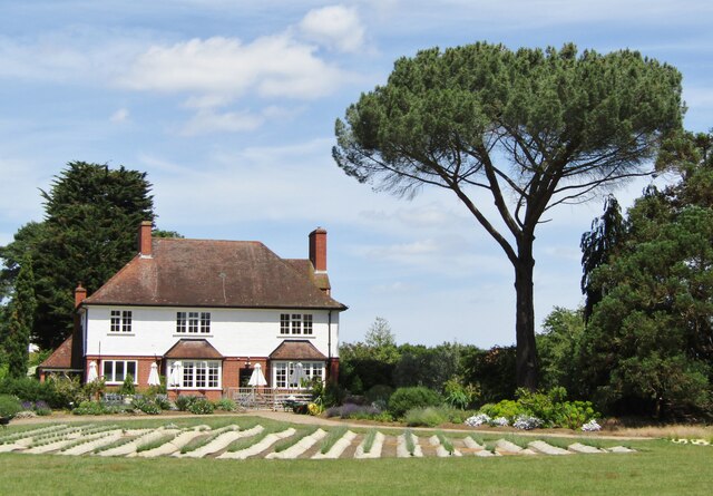
Image: © Colin Smith Taken: 22 Jun 2020
2020 - the house at the north end of the garden now contains an upmarket restaurant. www.rhs.org.uk
Images are licensed for reuse under creativecommons.org/licenses/by-sa/2.0
Image Location
Latitude
51.32198
Longitude
-0.475764