View from Gilmore Hill
Introduction
The photograph on this page of View from Gilmore Hill by Thomas Nugent as part of the Geograph project.
The Geograph project started in 2005 with the aim of publishing, organising and preserving representative images for every square kilometre of Great Britain, Ireland and the Isle of Man.

There are currently over 7.5m images from over 14,400 individuals and you can help contribute to the project by visiting https://www.geograph.org.uk
View from Gilmore Hill
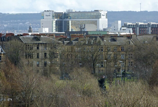
Image: © Thomas Nugent Taken: 19 Mar 2017
The Skypark building is 1.3Km away at Finnieston, the wind turbine is 9.5Km away at Cathkin Braes.
Images are licensed for reuse under creativecommons.org/licenses/by-sa/2.0
Image Location
Latitude
55.866982
Longitude
-4.286257