Mansfield Park
Introduction
The photograph on this page of Mansfield Park by Thomas Nugent as part of the Geograph project.
The Geograph project started in 2005 with the aim of publishing, organising and preserving representative images for every square kilometre of Great Britain, Ireland and the Isle of Man.

There are currently over 7.5m images from over 14,400 individuals and you can help contribute to the project by visiting https://www.geograph.org.uk
Mansfield Park
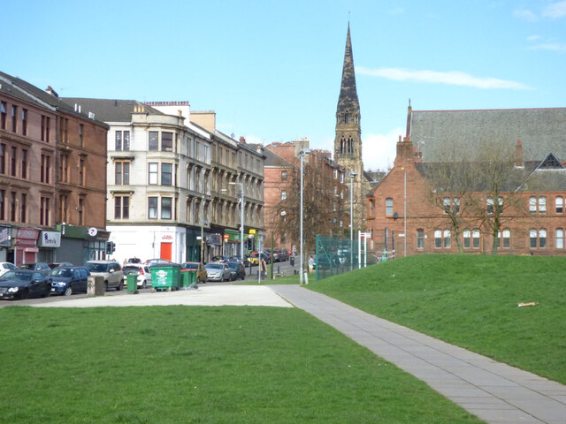
Image: © Thomas Nugent Taken: 19 Mar 2017
Looking towards Hyndland Street and the spire of the former Dowanhill Church, which is now a restaurant and theatre. Theatre web Site: https://cottiers.com/ .
Images are licensed for reuse under creativecommons.org/licenses/by-sa/2.0
Image Location
Latitude
55.871535
Longitude
-4.30235