Culvert Entrance
Introduction
The photograph on this page of Culvert Entrance by Anne Burgess as part of the Geograph project.
The Geograph project started in 2005 with the aim of publishing, organising and preserving representative images for every square kilometre of Great Britain, Ireland and the Isle of Man.

There are currently over 7.5m images from over 14,400 individuals and you can help contribute to the project by visiting https://www.geograph.org.uk
Culvert Entrance
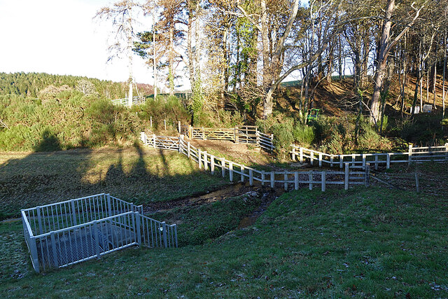
Image: © Anne Burgess Taken: 3 Dec 2020
I'm not sure why quite such an elaborate entrance was needed to take the Rafford Burn under the B9010.
Images are licensed for reuse under creativecommons.org/licenses/by-sa/2.0
Image Location


Leaflet Map data © OpenStreetMap
Latitude
57.584886
Longitude
-3.570977