Califer Hill
Introduction
The photograph on this page of Califer Hill by Anne Burgess as part of the Geograph project.
The Geograph project started in 2005 with the aim of publishing, organising and preserving representative images for every square kilometre of Great Britain, Ireland and the Isle of Man.

There are currently over 7.5m images from over 14,400 individuals and you can help contribute to the project by visiting https://www.geograph.org.uk
Califer Hill
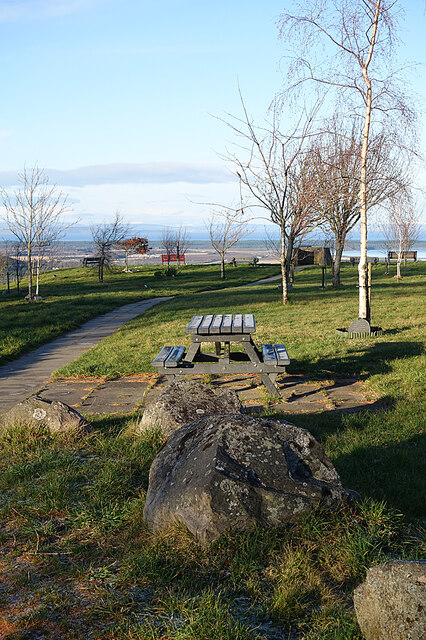
Image: © Anne Burgess Taken: 3 Dec 2020
Most of the trees at the viewpoint have been planted to commemorate people who wouldn't have wanted a gravestone in a conventional cemetery.
Images are licensed for reuse under creativecommons.org/licenses/by-sa/2.0
Image Location
Latitude
57.594062
Longitude
-3.533393