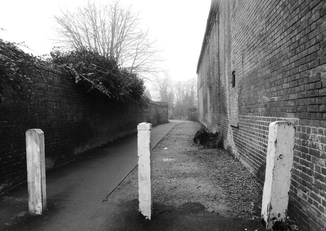
Flood Lane Faversham
Introduction
The photograph on this page of Flood Lane Faversham by pam fray as part of the Geograph project.
The Geograph project started in 2005 with the aim of publishing, organising and preserving representative images for every square kilometre of Great Britain, Ireland and the Isle of Man.
There are currently over 7.5m images from over 14,400 individuals and you can help contribute to the project by visiting https://www.geograph.org.uk

Image: © pam fray Taken: 7 Dec 2020
The lane runs between Brent Road and West Street. On the right is the rear wall of the Purifier Building, This 19th century brick building was part of the town Gas Works, and had various uses including metering the gas when it came out of the ‘purifiers’ on the adjacent wharf. The building was in a dreadful state of decay after many decades of neglect when the Faversham Trust took it on and, with the help of many volunteers, it was all brought back into use. The eastern wing is now used by a block-maker, and the main arm of the building houses the workshop of a boat-builder, the Shipwrights’ Hall, and the Arthur Percival Room.

