From Purn to Bleadon
Introduction
The photograph on this page of From Purn to Bleadon by Neil Owen as part of the Geograph project.
The Geograph project started in 2005 with the aim of publishing, organising and preserving representative images for every square kilometre of Great Britain, Ireland and the Isle of Man.

There are currently over 7.5m images from over 14,400 individuals and you can help contribute to the project by visiting https://www.geograph.org.uk
From Purn to Bleadon
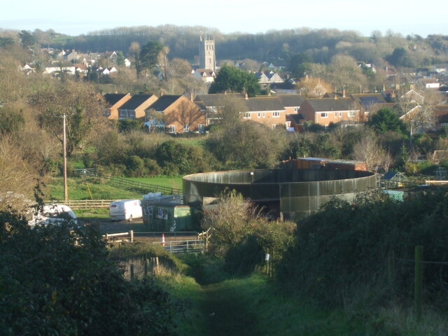
Image: © Neil Owen Taken: 26 Nov 2020
The path drops down from Purn Hill and past a large circular tank on a farm. it has a wide doorway to it and seems to have equestrian use. Bleadon's only church, St Peter and St Paul, stands further on.
Images are licensed for reuse under creativecommons.org/licenses/by-sa/2.0
Image Location
Latitude
51.310631
Longitude
-2.956747