Bleadon conveniences
Introduction
The photograph on this page of Bleadon conveniences by Neil Owen as part of the Geograph project.
The Geograph project started in 2005 with the aim of publishing, organising and preserving representative images for every square kilometre of Great Britain, Ireland and the Isle of Man.

There are currently over 7.5m images from over 14,400 individuals and you can help contribute to the project by visiting https://www.geograph.org.uk
Bleadon conveniences
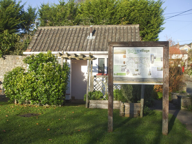
Image: © Neil Owen Taken: 26 Nov 2020
The village proudly retains a public convenience - unlike most places these days. It is a post-war edifice and is accompanied by a handy information board.
Images are licensed for reuse under creativecommons.org/licenses/by-sa/2.0
Image Location
Latitude
51.307112
Longitude
-2.947205