A426 north of Lutterworth
Introduction
The photograph on this page of A426 north of Lutterworth by Stephen McKay as part of the Geograph project.
The Geograph project started in 2005 with the aim of publishing, organising and preserving representative images for every square kilometre of Great Britain, Ireland and the Isle of Man.

There are currently over 7.5m images from over 14,400 individuals and you can help contribute to the project by visiting https://www.geograph.org.uk
A426 north of Lutterworth
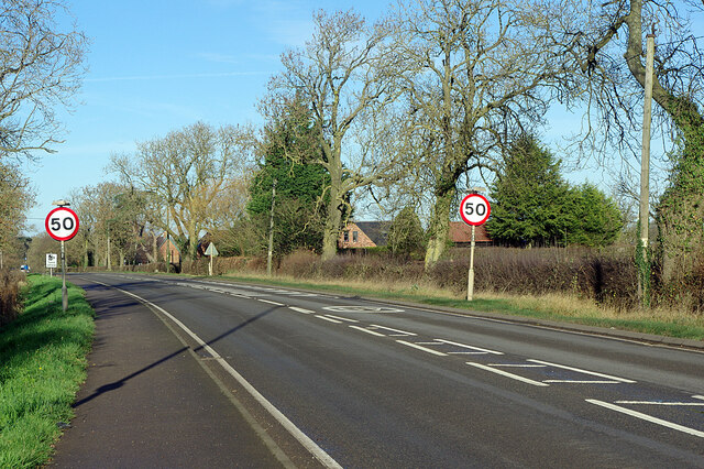
Image: © Stephen McKay Taken: 1 Dec 2020
Leicester Road leaves Lutterworth and the speed limit increases to 50mph. Many stretches of rural 'A' roads have been reduced from the national speed limit to 50mph in recent years.
Images are licensed for reuse under creativecommons.org/licenses/by-sa/2.0
Image Location
Latitude
52.471019
Longitude
-1.198533