The western edge of Wells
Introduction
The photograph on this page of The western edge of Wells by Sharon Loxton as part of the Geograph project.
The Geograph project started in 2005 with the aim of publishing, organising and preserving representative images for every square kilometre of Great Britain, Ireland and the Isle of Man.

There are currently over 7.5m images from over 14,400 individuals and you can help contribute to the project by visiting https://www.geograph.org.uk
The western edge of Wells
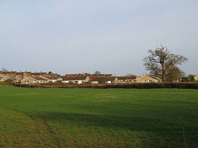
Image: © Sharon Loxton Taken: 26 Jan 2008
A view east towards the houses on the estate on the westernmost edge of Wells. Taken from the footpath which runs around the sewage works.
Images are licensed for reuse under creativecommons.org/licenses/by-sa/2.0
Image Location
Latitude
51.205559
Longitude
-2.664701