Parallel ways
Introduction
The photograph on this page of Parallel ways by Robin Webster as part of the Geograph project.
The Geograph project started in 2005 with the aim of publishing, organising and preserving representative images for every square kilometre of Great Britain, Ireland and the Isle of Man.

There are currently over 7.5m images from over 14,400 individuals and you can help contribute to the project by visiting https://www.geograph.org.uk
Parallel ways
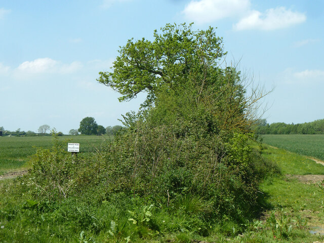
Image: © Robin Webster Taken: 18 May 2014
A farm track to the left of the hedge, signed 'Private road to Colliers Farm - access only' and a public bridleway to Baulking on the right side of the hedge.
Images are licensed for reuse under creativecommons.org/licenses/by-sa/2.0
Image Location


Leaflet Map data © OpenStreetMap
Latitude
51.608685
Longitude
-1.525435