The Winston Churchill, Wakefield Road, Bowling, Bradford
Introduction
The photograph on this page of The Winston Churchill, Wakefield Road, Bowling, Bradford by Humphrey Bolton as part of the Geograph project.
The Geograph project started in 2005 with the aim of publishing, organising and preserving representative images for every square kilometre of Great Britain, Ireland and the Isle of Man.

There are currently over 7.5m images from over 14,400 individuals and you can help contribute to the project by visiting https://www.geograph.org.uk
The Winston Churchill, Wakefield Road, Bowling, Bradford
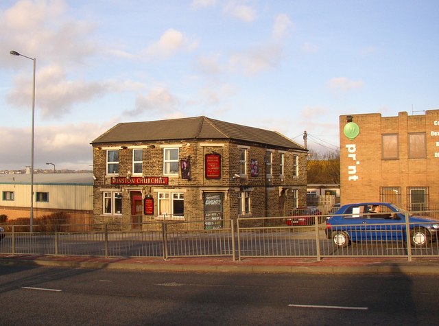
Image: © Humphrey Bolton Taken: 27 Jan 2008
Originally just called 'The Churchill' In the early 20C it had back-to-back houses on each side, and more along the line of the nearest carriageway of the road.
Images are licensed for reuse under creativecommons.org/licenses/by-sa/2.0
Image Location
Latitude
53.783132
Longitude
-1.734375