Barley field between Barns of Craig and Kirkton of Craig, Montrose
Introduction
The photograph on this page of Barley field between Barns of Craig and Kirkton of Craig, Montrose by Adrian Diack as part of the Geograph project.
The Geograph project started in 2005 with the aim of publishing, organising and preserving representative images for every square kilometre of Great Britain, Ireland and the Isle of Man.

There are currently over 7.5m images from over 14,400 individuals and you can help contribute to the project by visiting https://www.geograph.org.uk
Barley field between Barns of Craig and Kirkton of Craig, Montrose
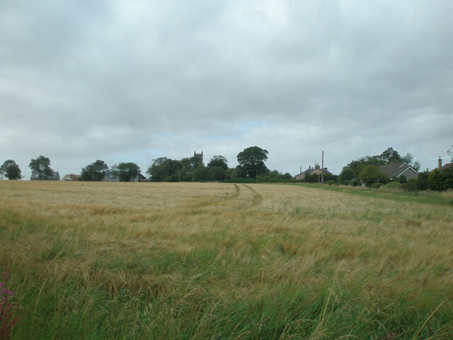
Image: © Adrian Diack Taken: 20 Aug 2020
This westward view shows a field of growing barley between Barns of Craig and Kirkton of Craig by Montrose. The village in the photo is Kirkton of Craig.
Images are licensed for reuse under creativecommons.org/licenses/by-sa/2.0
Image Location
Latitude
56.692901
Longitude
-2.482927