Brompton Regis: church and village
Introduction
The photograph on this page of Brompton Regis: church and village by Martin Bodman as part of the Geograph project.
The Geograph project started in 2005 with the aim of publishing, organising and preserving representative images for every square kilometre of Great Britain, Ireland and the Isle of Man.

There are currently over 7.5m images from over 14,400 individuals and you can help contribute to the project by visiting https://www.geograph.org.uk
Brompton Regis: church and village
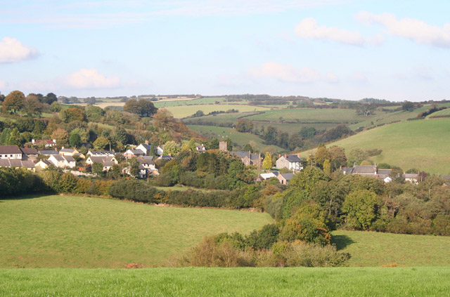
Image: © Martin Bodman Taken: 17 Oct 2005
Seen from Storridge Lane, looking north-north-west
Images are licensed for reuse under creativecommons.org/licenses/by-sa/2.0
Image Location
Latitude
51.07231
Longitude
-3.498647