The bottom of Hellenge Hill
Introduction
The photograph on this page of The bottom of Hellenge Hill by Neil Owen as part of the Geograph project.
The Geograph project started in 2005 with the aim of publishing, organising and preserving representative images for every square kilometre of Great Britain, Ireland and the Isle of Man.

There are currently over 7.5m images from over 14,400 individuals and you can help contribute to the project by visiting https://www.geograph.org.uk
The bottom of Hellenge Hill
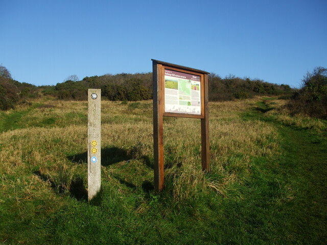
Image: © Neil Owen Taken: 26 Nov 2020
Two paths run uphill from the board. The area is a popular Local Nature Reserve.
Images are licensed for reuse under creativecommons.org/licenses/by-sa/2.0
Image Location
Latitude
51.308949
Longitude
-2.942365