Bournemouth Gardens: Prince of Wales Road
Introduction
The photograph on this page of Bournemouth Gardens: Prince of Wales Road by Chris Downer as part of the Geograph project.
The Geograph project started in 2005 with the aim of publishing, organising and preserving representative images for every square kilometre of Great Britain, Ireland and the Isle of Man.

There are currently over 7.5m images from over 14,400 individuals and you can help contribute to the project by visiting https://www.geograph.org.uk
Bournemouth Gardens: Prince of Wales Road
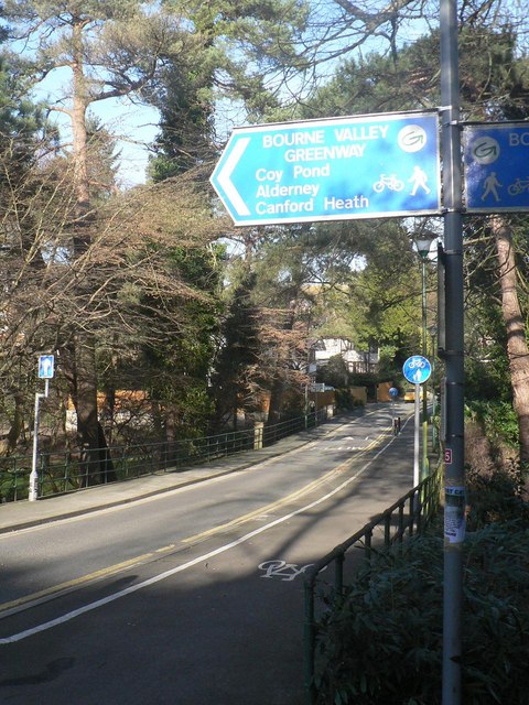
Image: © Chris Downer Taken: 27 Jan 2008
Prince of Wales Road, seen here as it crosses the Gardens. The Bourne Valley Greenway referred to in the sign is the path that follows the southern edge of the Gardens, which is a shared pedestrian/cycle route and forms part of the local cycle network between Bournemouth and Poole.
Images are licensed for reuse under creativecommons.org/licenses/by-sa/2.0
Image Location


Leaflet Map data © OpenStreetMap
Latitude
50.725416
Longitude
-1.89681