Path around Forge Mill Lake
Introduction
The photograph on this page of Path around Forge Mill Lake by Mat Fascione as part of the Geograph project.
The Geograph project started in 2005 with the aim of publishing, organising and preserving representative images for every square kilometre of Great Britain, Ireland and the Isle of Man.

There are currently over 7.5m images from over 14,400 individuals and you can help contribute to the project by visiting https://www.geograph.org.uk
Path around Forge Mill Lake
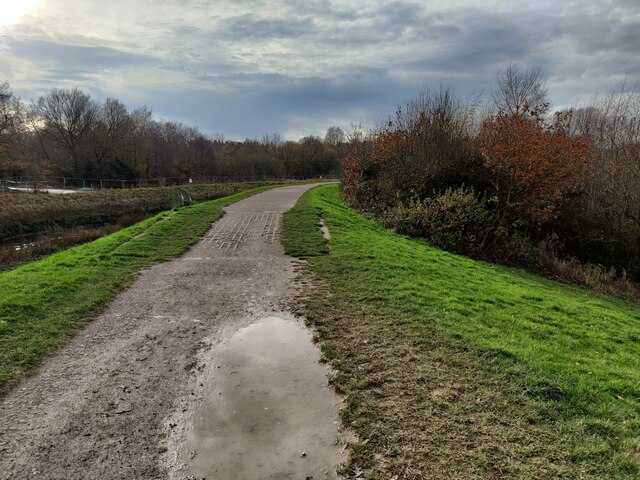
Image: © Mat Fascione Taken: 24 Nov 2020
Forge Mill Lake is a local nature reserve in Sandwell Valley, it covers an area of 63 hectares (160 acres). The lake is alongside the River Tame, and a footpath runs around the lake. There is a visitor centre at Forge Mill Farm.
Images are licensed for reuse under creativecommons.org/licenses/by-sa/2.0
Image Location
Latitude
52.530358
Longitude
-1.950427