East on Myton Road, Warwick
Introduction
The photograph on this page of East on Myton Road, Warwick by Robin Stott as part of the Geograph project.
The Geograph project started in 2005 with the aim of publishing, organising and preserving representative images for every square kilometre of Great Britain, Ireland and the Isle of Man.

There are currently over 7.5m images from over 14,400 individuals and you can help contribute to the project by visiting https://www.geograph.org.uk
East on Myton Road, Warwick
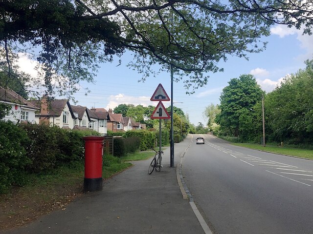
Image: © Robin Stott Taken: 4 May 2020
Approaching bridge 44 on the Grand Union Canal. The postbox ID is CV34 152. The detached houses first appear as outlined blocks on a map of 1938.
Images are licensed for reuse under creativecommons.org/licenses/by-sa/2.0
Image Location
Latitude
52.282661
Longitude
-1.554186