Track towards Culnells
Introduction
The photograph on this page of Track towards Culnells by Richard Dorrell as part of the Geograph project.
The Geograph project started in 2005 with the aim of publishing, organising and preserving representative images for every square kilometre of Great Britain, Ireland and the Isle of Man.

There are currently over 7.5m images from over 14,400 individuals and you can help contribute to the project by visiting https://www.geograph.org.uk
Track towards Culnells
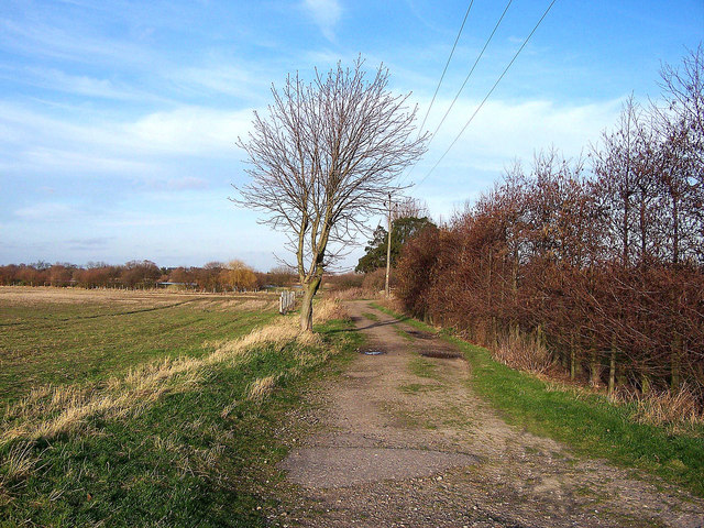
Image: © Richard Dorrell Taken: 27 Jan 2008
"Culnells" is former farm buildings with planning for light industrial use. There were a lot of dogs barking behind a fence, so as I had Basil with me, I didn't go too close. The footpath is not waymarked.
Images are licensed for reuse under creativecommons.org/licenses/by-sa/2.0
Image Location
Latitude
51.368957
Longitude
0.71109