Bridge over the 'Forest Hall' Letch near Killingworth Village
Introduction
The photograph on this page of Bridge over the 'Forest Hall' Letch near Killingworth Village by Geoff Holland as part of the Geograph project.
The Geograph project started in 2005 with the aim of publishing, organising and preserving representative images for every square kilometre of Great Britain, Ireland and the Isle of Man.

There are currently over 7.5m images from over 14,400 individuals and you can help contribute to the project by visiting https://www.geograph.org.uk
Bridge over the 'Forest Hall' Letch near Killingworth Village
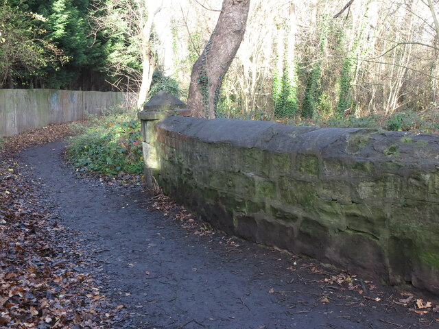
Image: © Geoff Holland Taken: 1 Dec 2020
The Letch flows in two separate strands, the 'Longbenton' Letch and the 'Forest Hall' Letch. In 2016 a £6 million scheme to alleviate flooding in North Tyneside was carried out which involved water, flowing into the sewer network from Killingworth Lake and the 'Longbenton' Letch, being diverted to the 'Forest Hall' Letch via a new 700 metre long underground surface water pipe. This bridge carries a public footpath, which links Killingworth Village with Great Lime Road, over the 'Forest Hall' Letch. The word 'Letch' means, "a stream or pool in boggy land" and its use in this area is rare (see Sandy's Letch near Burradon House https://www.geograph.org.uk/photo/6679397). For a selection of detailed free to download walking routes in the area visit www.northtynesidewalks.co.uk
Images are licensed for reuse under creativecommons.org/licenses/by-sa/2.0
Image Location
Latitude
55.027791
Longitude
-1.561494