Above the Wye
Introduction
The photograph on this page of Above the Wye by Graham Horn as part of the Geograph project.
The Geograph project started in 2005 with the aim of publishing, organising and preserving representative images for every square kilometre of Great Britain, Ireland and the Isle of Man.

There are currently over 7.5m images from over 14,400 individuals and you can help contribute to the project by visiting https://www.geograph.org.uk
Above the Wye
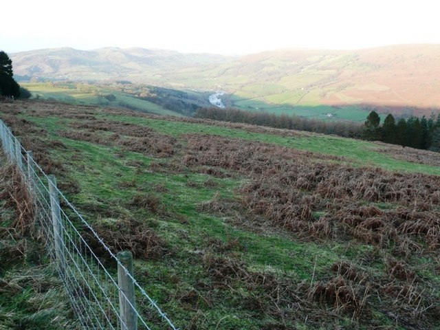
Image: © Graham Horn Taken: 24 Jan 2008
From a minor road in the west of the square. An enclosed moorland area, drops towards the Wye. As the slope steepens it gives way to Henallt woodland seen to the right in the square.
Images are licensed for reuse under creativecommons.org/licenses/by-sa/2.0
Image Location
Latitude
52.124308
Longitude
-3.371253