Sunset on the A449
Introduction
The photograph on this page of Sunset on the A449 by Trevor Rickard as part of the Geograph project.
The Geograph project started in 2005 with the aim of publishing, organising and preserving representative images for every square kilometre of Great Britain, Ireland and the Isle of Man.

There are currently over 7.5m images from over 14,400 individuals and you can help contribute to the project by visiting https://www.geograph.org.uk
Sunset on the A449
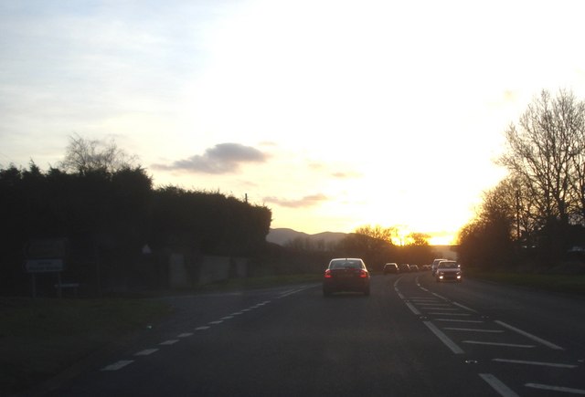
Image: © Trevor Rickard Taken: 26 Jan 2008
Looking south-west towards the Malverns with the turn off to Woodsfield to the left. This stretch of road is an accident black spot because it is fast and there is enough room to pass down the middle. The sweeping bends can then catch overtaking drivers facing each other. The latest attempt to stop the problem is a long stretch of hash lines in the danger area.
Images are licensed for reuse under creativecommons.org/licenses/by-sa/2.0
Image Location
Latitude
52.148395
Longitude
-2.283476