Village centre, Plumtree
Introduction
The photograph on this page of Village centre, Plumtree by Kate Jewell as part of the Geograph project.
The Geograph project started in 2005 with the aim of publishing, organising and preserving representative images for every square kilometre of Great Britain, Ireland and the Isle of Man.

There are currently over 7.5m images from over 14,400 individuals and you can help contribute to the project by visiting https://www.geograph.org.uk
Village centre, Plumtree
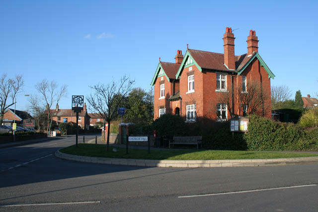
Image: © Kate Jewell Taken: 24 Jan 2008
Church Hill (to the right) meets Main Street (ahead) and Station Road (behind the view point) at the cross roads in the centre of Plumtree, right on the boundary of two squares. The fourth road at this staggered junction is Bradmore Lane. The large house on the junction is the Old Post Office, the village primary school is behind the photographer and the Griffin Inn, the only pub in the village, is opposite. With the church at the top of the hill this is a real village centre.
Images are licensed for reuse under creativecommons.org/licenses/by-sa/2.0
Image Location
Latitude
52.891146
Longitude
-1.09033