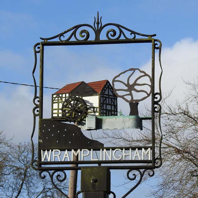
Wramplingham village sign
Introduction
The photograph on this page of Wramplingham village sign by Adrian S Pye as part of the Geograph project.
The Geograph project started in 2005 with the aim of publishing, organising and preserving representative images for every square kilometre of Great Britain, Ireland and the Isle of Man.
There are currently over 7.5m images from over 14,400 individuals and you can help contribute to the project by visiting https://www.geograph.org.uk

Image: © Adrian S Pye Taken: 1 Dec 2020
The sign was installed in the millpond in 1980. It features the watermill which was considerably larger than the one depicted, standing three storeys high. The mill was powered by a 9ft 6ins head of water that ran a 21 foot diameter breast shot wheel. It was demolished in 1945. Beside the mill is a tree and between the two a man, I think, to give an indication of scale https://www.geograph.org.uk/photo/6693892.

