Former tollhouse
Introduction
The photograph on this page of Former tollhouse by Alverie Weighill as part of the Geograph project.
The Geograph project started in 2005 with the aim of publishing, organising and preserving representative images for every square kilometre of Great Britain, Ireland and the Isle of Man.

There are currently over 7.5m images from over 14,400 individuals and you can help contribute to the project by visiting https://www.geograph.org.uk
Former tollhouse
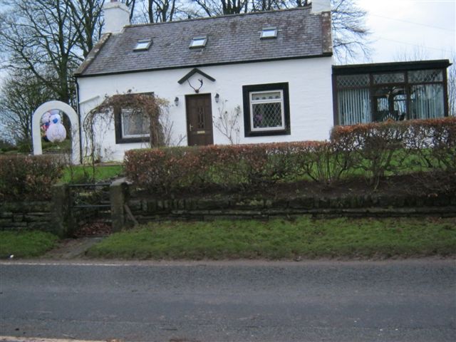
Image: © Alverie Weighill Taken: 21 Dec 2011
Surveyed by the Milestone Society. On the A709 Dumfries to Lockerbie road is this probable old tollhouse which had the gate name 'Sandyknowe'. There is a minor road running north west to Locharbriggs.
Images are licensed for reuse under creativecommons.org/licenses/by-sa/2.0
Image Location


Leaflet Map data © OpenStreetMap
Latitude
55.083109
Longitude
-3.545663