The Killingworth Arms, Killingworth Village
Introduction
The photograph on this page of The Killingworth Arms, Killingworth Village by Geoff Holland as part of the Geograph project.
The Geograph project started in 2005 with the aim of publishing, organising and preserving representative images for every square kilometre of Great Britain, Ireland and the Isle of Man.

There are currently over 7.5m images from over 14,400 individuals and you can help contribute to the project by visiting https://www.geograph.org.uk
The Killingworth Arms, Killingworth Village
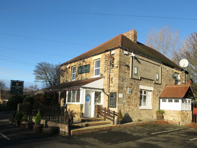
Image: © Geoff Holland Taken: 1 Dec 2020
When the first edition of the Ordnance Survey Six-Inch map of the area was published in 1865, Killingworth Village was served by two public houses, the Killingworth Arms Hotel and the Plough Public House. Both still exist to this day although the Plough was rebuilt in 1910. Somewhere along the way the word 'Hotel' has been dropped from the name of this particular establishment https://www.geograph.org.uk/photo/6693412. For a selection of detailed free to download walking routes in the area visit www.northtynesidewalks.co.uk
Images are licensed for reuse under creativecommons.org/licenses/by-sa/2.0
Image Location
Latitude
55.032092
Longitude
-1.558005