Signage, Killingworth Arms, Killingworth Village
Introduction
The photograph on this page of Signage, Killingworth Arms, Killingworth Village by Geoff Holland as part of the Geograph project.
The Geograph project started in 2005 with the aim of publishing, organising and preserving representative images for every square kilometre of Great Britain, Ireland and the Isle of Man.

There are currently over 7.5m images from over 14,400 individuals and you can help contribute to the project by visiting https://www.geograph.org.uk
Signage, Killingworth Arms, Killingworth Village
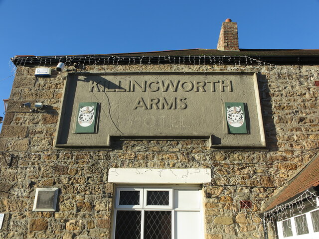
Image: © Geoff Holland Taken: 1 Dec 2020
The Killingworth Arms is one of two public houses serving this small village much as it was when the first edition of the Ordnance Survey Six-Inch map of the area was published in 1865. As the keen-eyed will note, from the sign, that this establishment was once known as the Killingworth Arms Hotel. For a selection of detailed free to download walking routes in the area visit www.northtynesidewalks.co.uk
Images are licensed for reuse under creativecommons.org/licenses/by-sa/2.0
Image Location
Latitude
55.032183
Longitude
-1.558317