The end of the close
Introduction
The photograph on this page of The end of the close by Bob Harvey as part of the Geograph project.
The Geograph project started in 2005 with the aim of publishing, organising and preserving representative images for every square kilometre of Great Britain, Ireland and the Isle of Man.

There are currently over 7.5m images from over 14,400 individuals and you can help contribute to the project by visiting https://www.geograph.org.uk
The end of the close
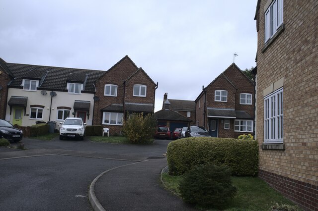
Image: © Bob Harvey Taken: 23 Oct 2020
Infill housing, dated to the Blair years by having detached garages, a planning quirk of the times
Images are licensed for reuse under creativecommons.org/licenses/by-sa/2.0
Image Location
Latitude
52.896829
Longitude
-0.52739