Staffordshire and Worcestershire Canal in Kidderminster, Worcestershire
Introduction
The photograph on this page of Staffordshire and Worcestershire Canal in Kidderminster, Worcestershire by Roger Kidd as part of the Geograph project.
The Geograph project started in 2005 with the aim of publishing, organising and preserving representative images for every square kilometre of Great Britain, Ireland and the Isle of Man.

There are currently over 7.5m images from over 14,400 individuals and you can help contribute to the project by visiting https://www.geograph.org.uk
Staffordshire and Worcestershire Canal in Kidderminster, Worcestershire
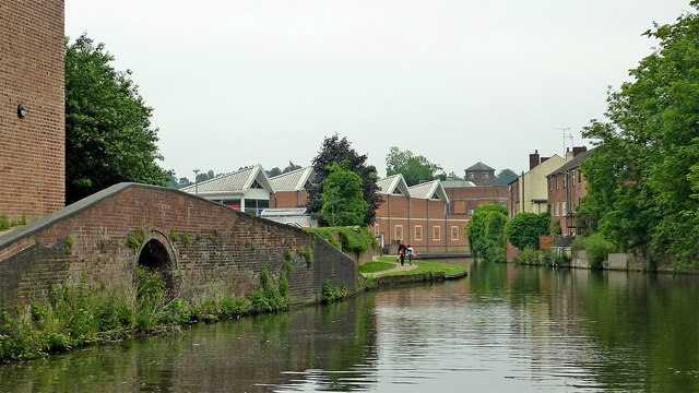
Image: © Roger Kidd Taken: 20 Jun 2013
This shows the Staffordshire and Worcestershire Canal, looking south towards Stourport. The arm off to the left used to serve Slingfield Mill, but has now been filled in and built on.
Images are licensed for reuse under creativecommons.org/licenses/by-sa/2.0
Image Location
Latitude
52.385272
Longitude
-2.25164