The Moorend
Introduction
The photograph on this page of The Moorend by Philip Halling as part of the Geograph project.
The Geograph project started in 2005 with the aim of publishing, organising and preserving representative images for every square kilometre of Great Britain, Ireland and the Isle of Man.

There are currently over 7.5m images from over 14,400 individuals and you can help contribute to the project by visiting https://www.geograph.org.uk
The Moorend
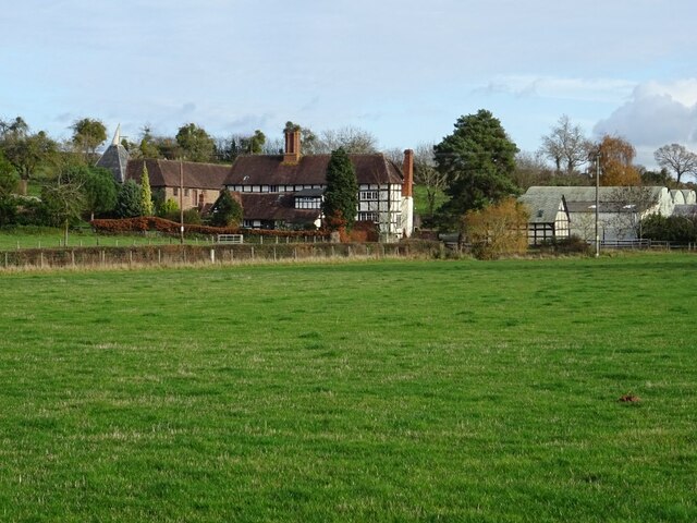
Image: © Philip Halling Taken: 22 Nov 2020
Moorend Farmhouse is a 17th century timber-framed Grade II listed building. See: http://www.geograph.org.uk/submit2.php?multi=true#gridref=SO%206375%204159
Images are licensed for reuse under creativecommons.org/licenses/by-sa/2.0
Image Location
Latitude
52.075163
Longitude
-2.531344