Course of the old Farnley ironworks railway
Introduction
The photograph on this page of Course of the old Farnley ironworks railway by Stephen Craven as part of the Geograph project.
The Geograph project started in 2005 with the aim of publishing, organising and preserving representative images for every square kilometre of Great Britain, Ireland and the Isle of Man.

There are currently over 7.5m images from over 14,400 individuals and you can help contribute to the project by visiting https://www.geograph.org.uk
Course of the old Farnley ironworks railway
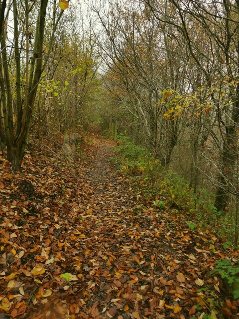
Image: © Stephen Craven Taken: 29 Nov 2020
The Farnley ironworks (later fireclay works) was a large industrial site on the edge of Leeds. I haven't established when it closed, but most of the site is now occupied by the Whitehall industrial estate. It was served by this railway line, which was shown on the 1908 maps as "LNWR Farnley Branch". The freight line also served the Dunlop and Ranken steelworks the other side of Whitehall Road, apparently until c.1980. This length of the trackbed north of Whitehall Road is walkable.
Images are licensed for reuse under creativecommons.org/licenses/by-sa/2.0
Image Location
Latitude
53.780978
Longitude
-1.60494