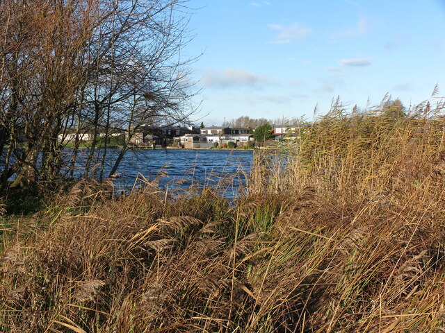
Killingworth Lake and Reed Beds
Introduction
The photograph on this page of Killingworth Lake and Reed Beds by Geoff Holland as part of the Geograph project.
The Geograph project started in 2005 with the aim of publishing, organising and preserving representative images for every square kilometre of Great Britain, Ireland and the Isle of Man.
There are currently over 7.5m images from over 14,400 individuals and you can help contribute to the project by visiting https://www.geograph.org.uk

Image: © Geoff Holland Taken: 30 Nov 2020
Killingworth Lake and the surrounding woodland area was created in the 1960s during the reclamation of derelict colliery land. As part of the reclamation scheme a 61,000 square metre lake, south of the town centre, was created after spoil heaps were levelled and planted with semi-mature trees. The lake is designated as a Site of Local Conservation Interest and supports one of the largest colonies of Mute Swans in North East England as well as other waterfowl such as Tufted Duck, Mallard, Coot and Moorhen. For a selection of detailed free to download walking routes in the area visit www.northtynesidewalks.co.uk

