New service road for the Auchrobert Wind Farm
Introduction
The photograph on this page of New service road for the Auchrobert Wind Farm by Gordon Brown as part of the Geograph project.
The Geograph project started in 2005 with the aim of publishing, organising and preserving representative images for every square kilometre of Great Britain, Ireland and the Isle of Man.

There are currently over 7.5m images from over 14,400 individuals and you can help contribute to the project by visiting https://www.geograph.org.uk
New service road for the Auchrobert Wind Farm
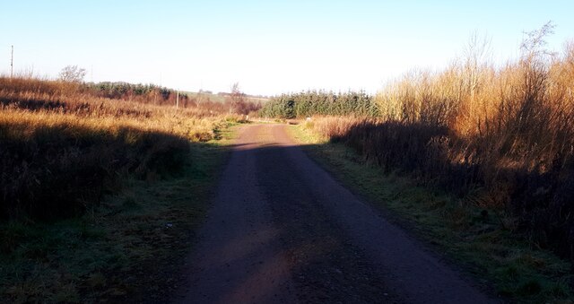
Image: © Gordon Brown Taken: 28 Nov 2020
The public road is unsuitable for very long vehicles, so this stretch of track was specially constructed to aid access for the erection of the turbine towers.
Images are licensed for reuse under creativecommons.org/licenses/by-sa/2.0
Image Location
Latitude
55.653568
Longitude
-3.973213