Low Flush [the village pond], Sicklinghall
Introduction
The photograph on this page of Low Flush [the village pond], Sicklinghall by Christine Johnstone as part of the Geograph project.
The Geograph project started in 2005 with the aim of publishing, organising and preserving representative images for every square kilometre of Great Britain, Ireland and the Isle of Man.

There are currently over 7.5m images from over 14,400 individuals and you can help contribute to the project by visiting https://www.geograph.org.uk
Low Flush [the village pond], Sicklinghall
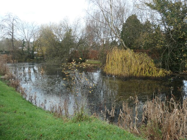
Image: © Christine Johnstone Taken: 26 Nov 2020
According to a nearby notice, on common land. Named as 'Low Flush' on the 1888 large-scale OS map. High Flush was another rectangular pond at the western end of the village.
Images are licensed for reuse under creativecommons.org/licenses/by-sa/2.0
Image Location
Latitude
53.930992
Longitude
-1.44696