Common Lane Clifton
Introduction
The photograph on this page of Common Lane Clifton by Steve Fareham as part of the Geograph project.
The Geograph project started in 2005 with the aim of publishing, organising and preserving representative images for every square kilometre of Great Britain, Ireland and the Isle of Man.

There are currently over 7.5m images from over 14,400 individuals and you can help contribute to the project by visiting https://www.geograph.org.uk
Common Lane Clifton
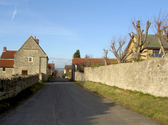
Image: © Steve Fareham Taken: 27 Jan 2008
The local dolomitic limestone is clearly visible in the construction of houses and walls.
Images are licensed for reuse under creativecommons.org/licenses/by-sa/2.0
Image Location
Latitude
53.460894
Longitude
-1.219028