Cwmparc and Treorchy
Introduction
The photograph on this page of Cwmparc and Treorchy by Alan Hughes as part of the Geograph project.
The Geograph project started in 2005 with the aim of publishing, organising and preserving representative images for every square kilometre of Great Britain, Ireland and the Isle of Man.

There are currently over 7.5m images from over 14,400 individuals and you can help contribute to the project by visiting https://www.geograph.org.uk
Cwmparc and Treorchy
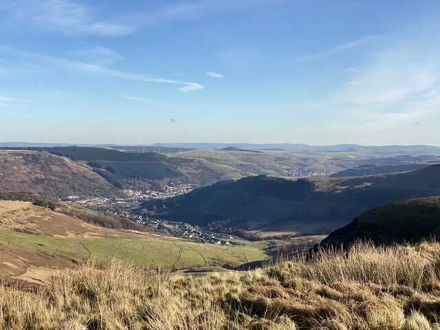
Image: © Alan Hughes Taken: 27 Nov 2020
Looking down onto the Rhondda valley from Graig Fawr. The conical mound right of centre is the coal tip above Tylorstown which slipped in February 2020 bringing back memories of the Aberfan disaster.
Images are licensed for reuse under creativecommons.org/licenses/by-sa/2.0
Image Location
Latitude
51.651336
Longitude
-3.52591