Recreation ground shelter
Introduction
The photograph on this page of Recreation ground shelter by Richard Dorrell as part of the Geograph project.
The Geograph project started in 2005 with the aim of publishing, organising and preserving representative images for every square kilometre of Great Britain, Ireland and the Isle of Man.

There are currently over 7.5m images from over 14,400 individuals and you can help contribute to the project by visiting https://www.geograph.org.uk
Recreation ground shelter
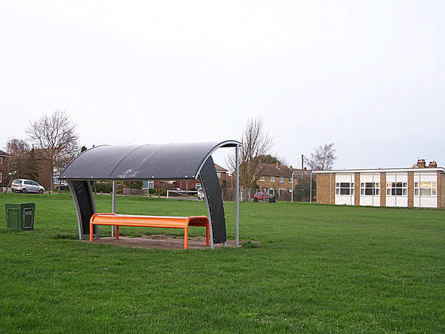
Image: © Richard Dorrell Taken: 26 Jan 2008
This rather 21st century shaped structure looks somewhat out of place in this rural village. Its purpose isn't clear, either. I expect it's a popular place for local teenagers to gather and drink cider in the evenings. No doubt they place their empty cans in the handy litter bin alongside. The building on the right is the Memorial Hall.
Images are licensed for reuse under creativecommons.org/licenses/by-sa/2.0
Image Location
Latitude
51.371845
Longitude
0.667578