Former route of A283 west of Stopham Bridge
Introduction
The photograph on this page of Former route of A283 west of Stopham Bridge by Robin Webster as part of the Geograph project.
The Geograph project started in 2005 with the aim of publishing, organising and preserving representative images for every square kilometre of Great Britain, Ireland and the Isle of Man.

There are currently over 7.5m images from over 14,400 individuals and you can help contribute to the project by visiting https://www.geograph.org.uk
Former route of A283 west of Stopham Bridge
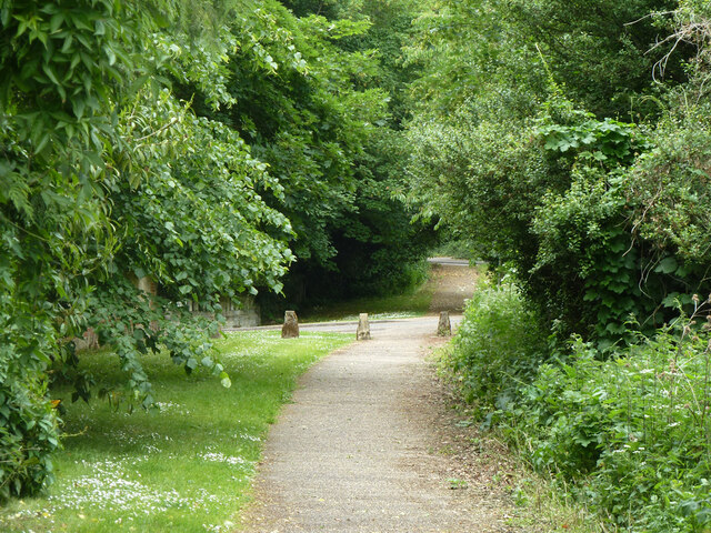
Image: © Robin Webster Taken: 23 May 2011
This was bypassed in 1986 and has been reduced to a path. The drive to Stopham House crosses.
Images are licensed for reuse under creativecommons.org/licenses/by-sa/2.0
Image Location
Latitude
50.95604
Longitude
-0.536889