School Lane, Lower Halstow
Introduction
The photograph on this page of School Lane, Lower Halstow by Richard Dorrell as part of the Geograph project.
The Geograph project started in 2005 with the aim of publishing, organising and preserving representative images for every square kilometre of Great Britain, Ireland and the Isle of Man.

There are currently over 7.5m images from over 14,400 individuals and you can help contribute to the project by visiting https://www.geograph.org.uk
School Lane, Lower Halstow
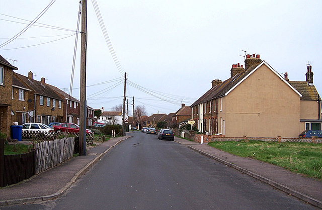
Image: © Richard Dorrell Taken: 26 Jan 2008
Looking north, towards the centre of the village.
Images are licensed for reuse under creativecommons.org/licenses/by-sa/2.0
Image Location


Leaflet Map data © OpenStreetMap
Latitude
51.372657
Longitude
0.667481