Priory Lodge
Introduction
The photograph on this page of Priory Lodge by Philip Halling as part of the Geograph project.
The Geograph project started in 2005 with the aim of publishing, organising and preserving representative images for every square kilometre of Great Britain, Ireland and the Isle of Man.

There are currently over 7.5m images from over 14,400 individuals and you can help contribute to the project by visiting https://www.geograph.org.uk
Priory Lodge
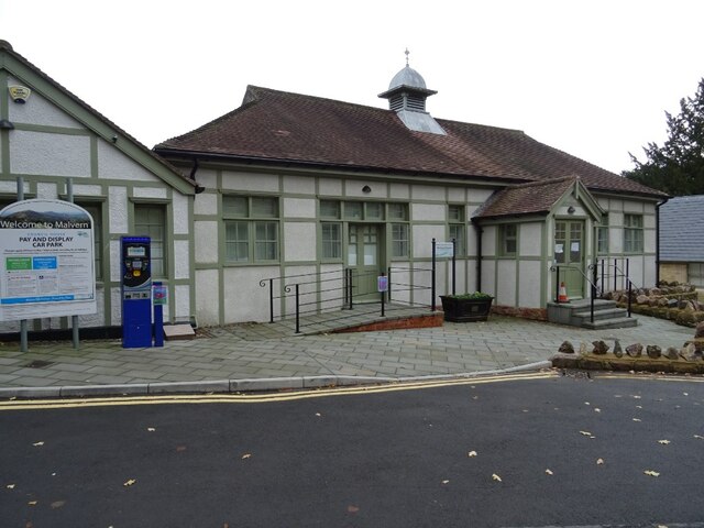
Image: © Philip Halling Taken: 17 Nov 2020
This building was built around 1919 when the house next door, The Priory was a school. Since 1974 it has been the Council Chamber for Malvern Hills District Council. The building is Grade II listed, see: https://historicengland.org.uk/listing/the-list/list-entry/1442151
Images are licensed for reuse under creativecommons.org/licenses/by-sa/2.0
Image Location


Leaflet Map data © OpenStreetMap
Latitude
52.111246
Longitude
-2.325295