Former railway route, looking towards Otley
Introduction
The photograph on this page of Former railway route, looking towards Otley by Stephen Craven as part of the Geograph project.
The Geograph project started in 2005 with the aim of publishing, organising and preserving representative images for every square kilometre of Great Britain, Ireland and the Isle of Man.

There are currently over 7.5m images from over 14,400 individuals and you can help contribute to the project by visiting https://www.geograph.org.uk
Former railway route, looking towards Otley
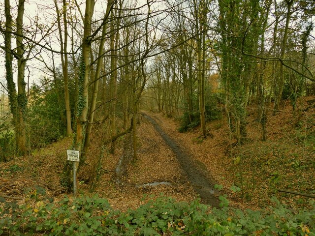
Image: © Stephen Craven Taken: 22 Nov 2020
This was the Ilkley to Bramhope railway line that closed to passengers in 1965.
Images are licensed for reuse under creativecommons.org/licenses/by-sa/2.0
Image Location


Leaflet Map data © OpenStreetMap
Latitude
53.897411
Longitude
-1.713869