Barns at Lower Halstow
Introduction
The photograph on this page of Barns at Lower Halstow by Richard Dorrell as part of the Geograph project.
The Geograph project started in 2005 with the aim of publishing, organising and preserving representative images for every square kilometre of Great Britain, Ireland and the Isle of Man.

There are currently over 7.5m images from over 14,400 individuals and you can help contribute to the project by visiting https://www.geograph.org.uk
Barns at Lower Halstow
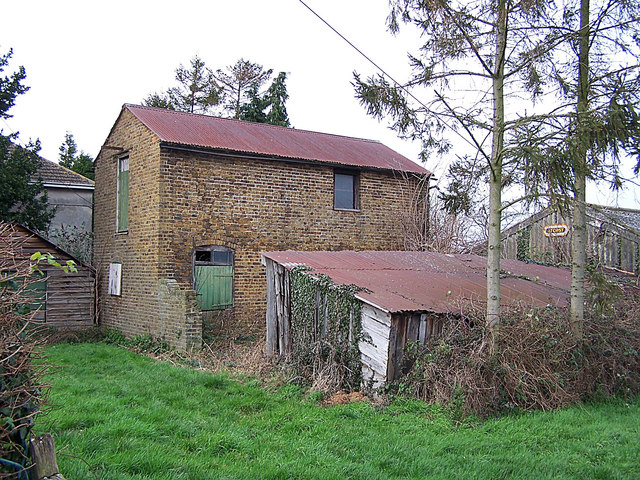
Image: © Richard Dorrell Taken: 26 Jan 2008
Halstow is a very rural village, as evidenced by these barns which stand among the houses and almost opposite the primary school.
Images are licensed for reuse under creativecommons.org/licenses/by-sa/2.0
Image Location
Latitude
51.37125
Longitude
0.669986