Farmland near Stoke Bliss
Introduction
The photograph on this page of Farmland near Stoke Bliss by Bill Boaden as part of the Geograph project.
The Geograph project started in 2005 with the aim of publishing, organising and preserving representative images for every square kilometre of Great Britain, Ireland and the Isle of Man.

There are currently over 7.5m images from over 14,400 individuals and you can help contribute to the project by visiting https://www.geograph.org.uk
Farmland near Stoke Bliss
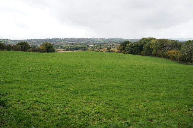
Image: © Bill Boaden Taken: 9 Oct 2020
The valleys ahead drain eventually into the River Teme.
Images are licensed for reuse under creativecommons.org/licenses/by-sa/2.0
Image Location


Leaflet Map data © OpenStreetMap
Latitude
52.256286
Longitude
-2.498493