Stafford Road (northbound carriageway) near Wolverhampton
Introduction
The photograph on this page of Stafford Road (northbound carriageway) near Wolverhampton by Roger Kidd as part of the Geograph project.
The Geograph project started in 2005 with the aim of publishing, organising and preserving representative images for every square kilometre of Great Britain, Ireland and the Isle of Man.

There are currently over 7.5m images from over 14,400 individuals and you can help contribute to the project by visiting https://www.geograph.org.uk
Stafford Road (northbound carriageway) near Wolverhampton
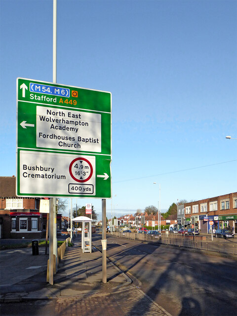
Image: © Roger Kidd Taken: 26 Nov 2020
This is the A449 Stafford Road south-west of Bushbury, and looking north towards Penkridge, and Stafford. Most of the businesses on the right are classified "non-essential", so closed by law during the second full coronavirus Covid-19 lockdown. The large building on the left was the former Three Tuns public house; now the Ming Moon Chinese restaurant.
Images are licensed for reuse under creativecommons.org/licenses/by-sa/2.0
Image Location
Latitude
52.620285
Longitude
-2.129943